Using drones to inspect our network
Using drones to inspect our network
Surveying our network
Our poles, wires, and other assets deliver power to homes, properties, and businesses. Maintaining the network is essential to provide a safe, reliable power supply.
We're now using drones to help our teammembers work more safely and efficiently around electricity assets
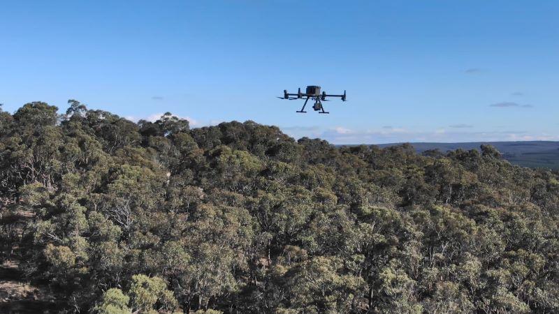
What are drone surveys?
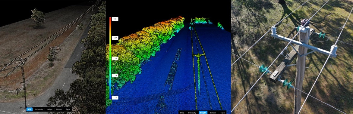
We use drones to capture images, thermal data and LiDAR scans of our network. This helps us assess the condition of our assets and their surrounds. They are also known as unmanned aerial surveys.
Our certified drone operators conduct these surveys. The skilled pilots gather precise data while following strict safety protocols. Compared to traditional ground-based inspections, drones offer:
- Faster, more efficient surveys.
- Better safety for team members.
- Access to difficult or hazardous locations.
Drones help us find faults and to check the network before bushfire season. They help to find risks early and keep our network safe and reliable.
Captured data is analysed by subject matter experts, who:
- assess asset conditions
- identify potential risks
- plan network upgrades.
Skilled in-house pilots
Drone technology is advancing quickly. Modern drones have built in systems to avoid collisions, follow planned routes and navigate independently.
Our drones are piloted by certified drone operators. The in-house team are certified by the Civil Aviation Safety Authority (CASA) (opens external site in a new window). They comply with the Civil Aviation Act 1988 (opens external site in a new window) and Civil Aviation Safety Regulations 1998 (opens external site in a new window).
Drone pilots only record company assets. Where needed, permission is sought before accessing private property.